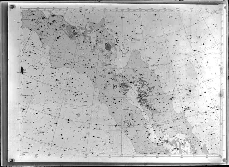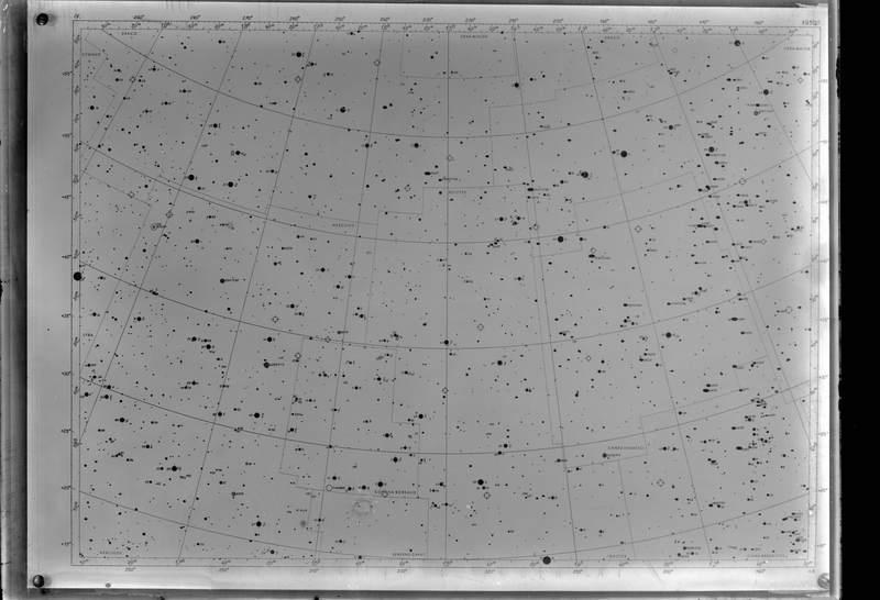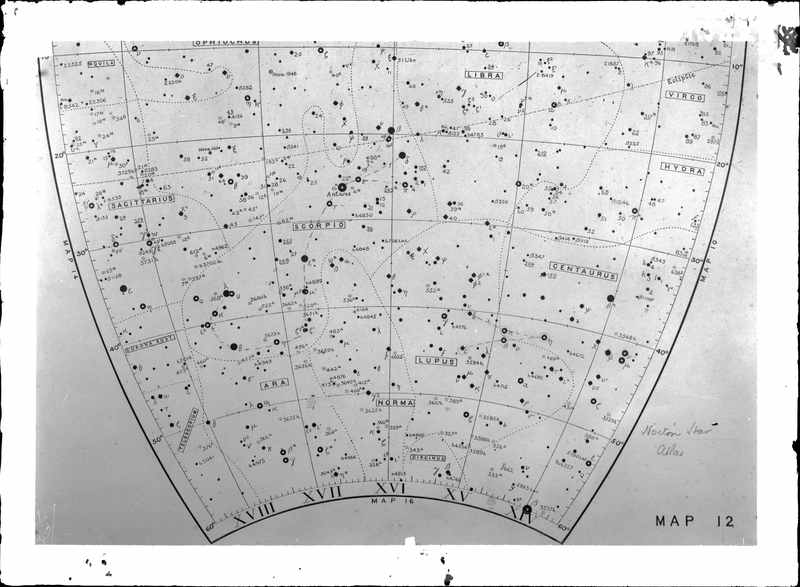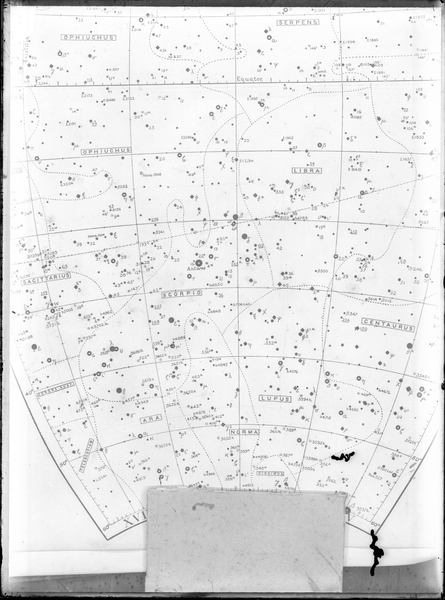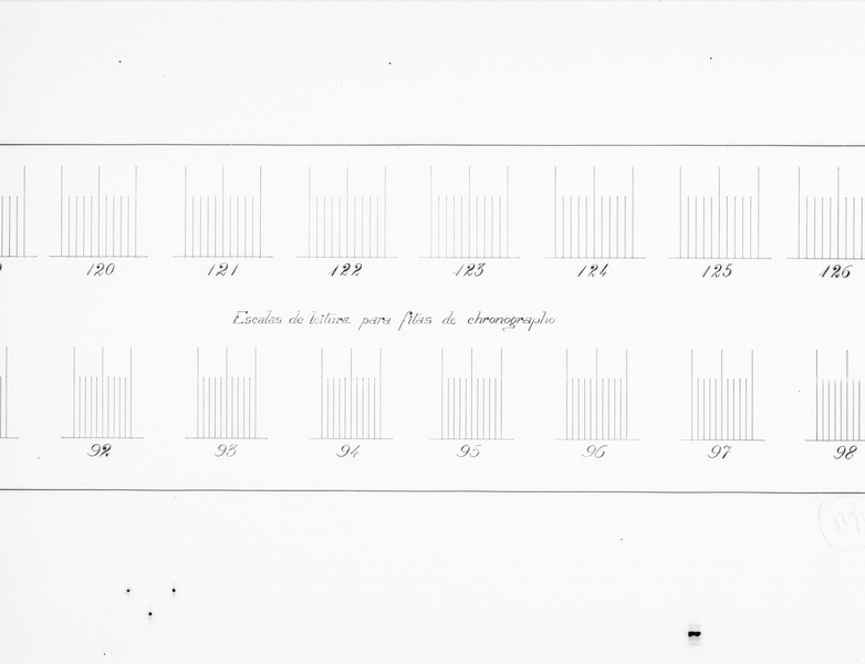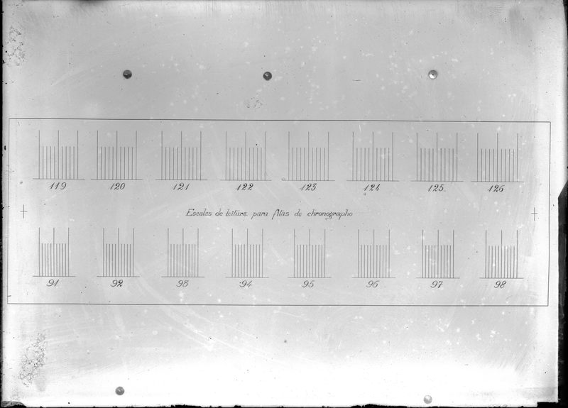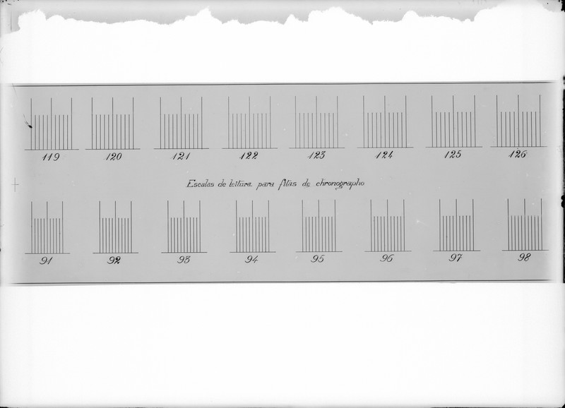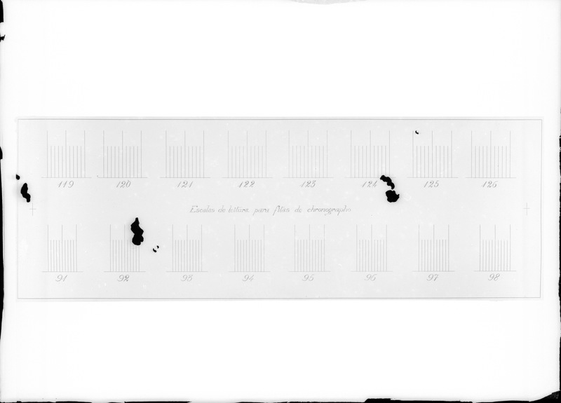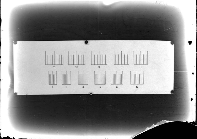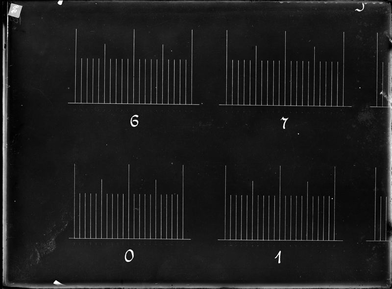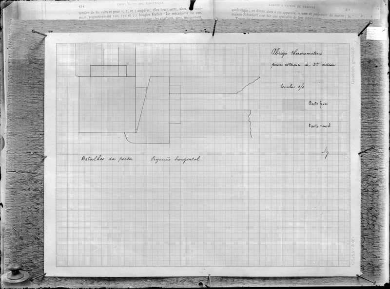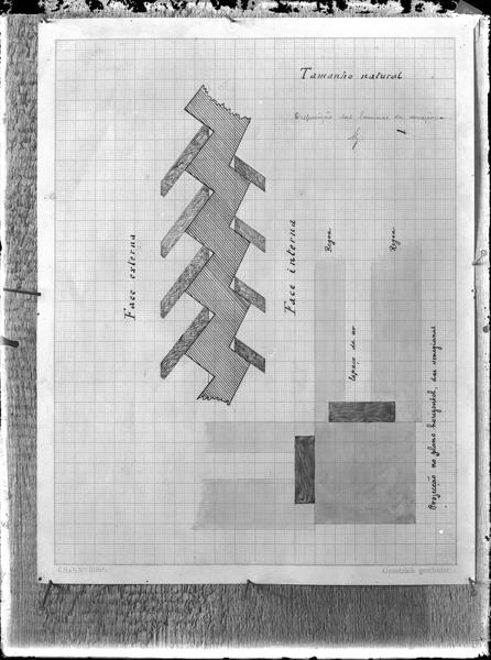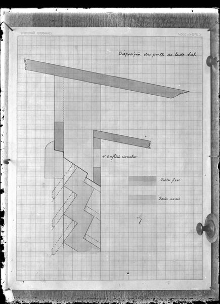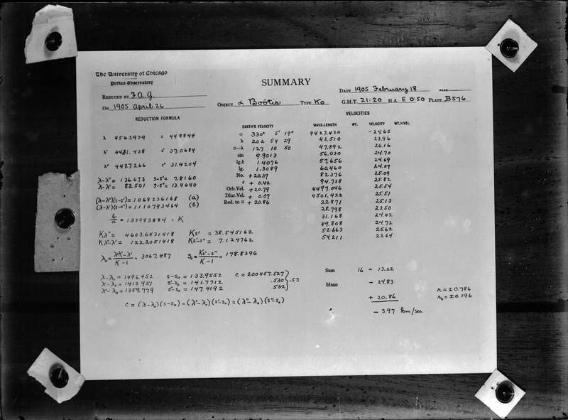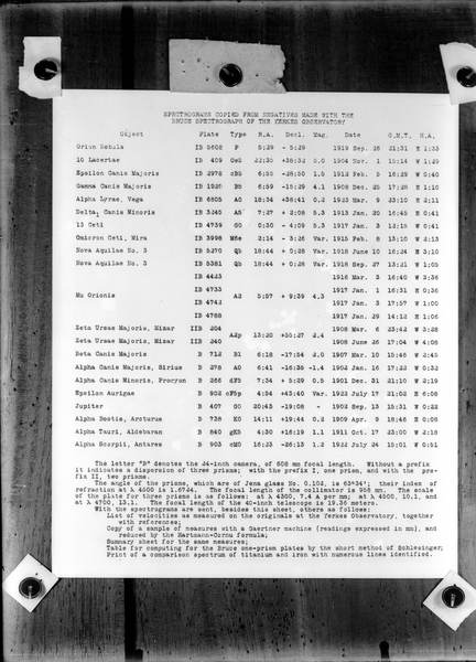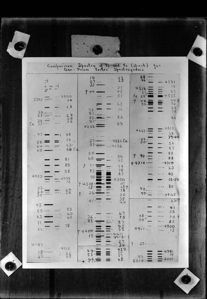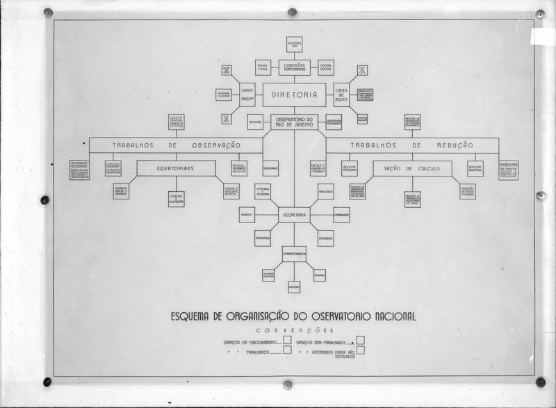
Scales, charts & floorplans
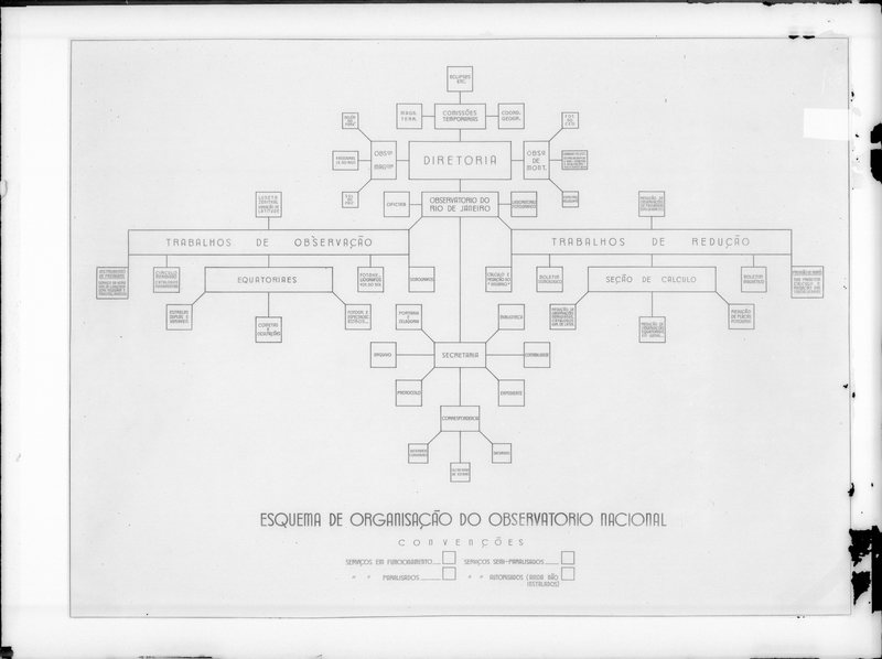
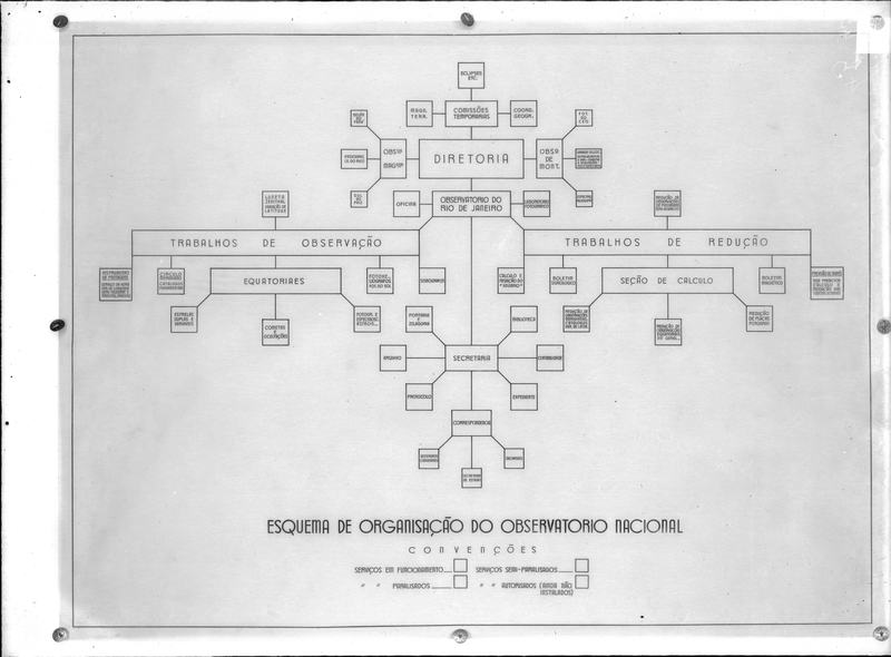
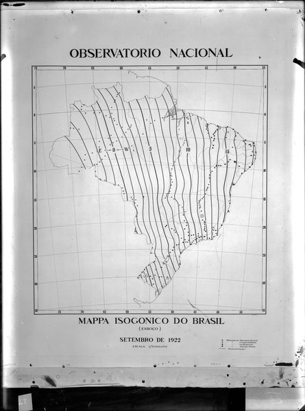
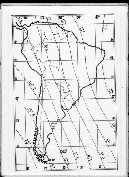
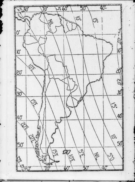
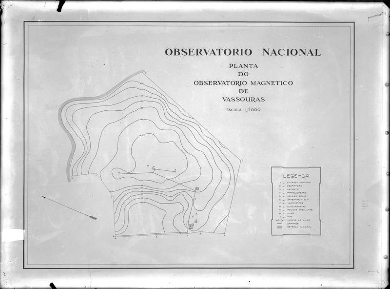
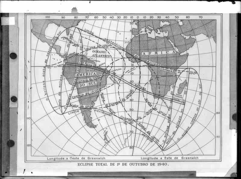
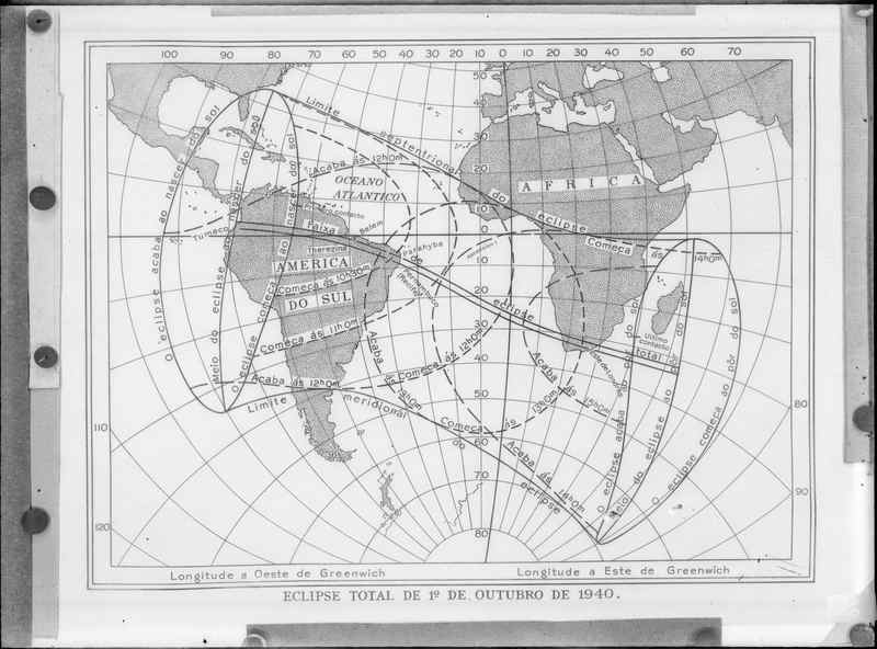
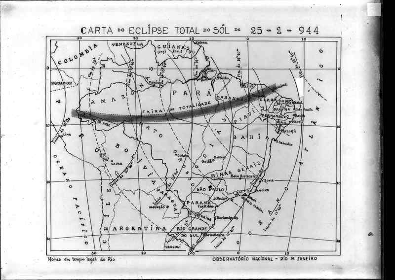
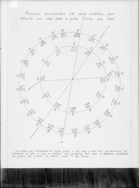
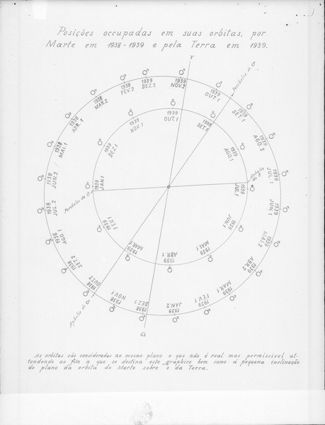
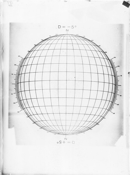
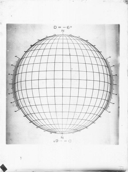
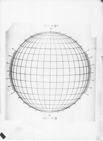
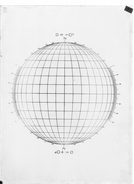
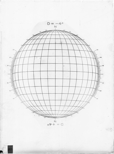
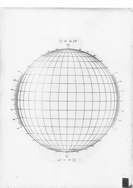
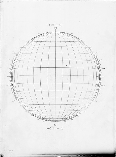
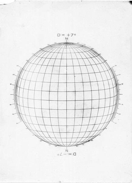
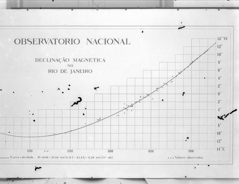
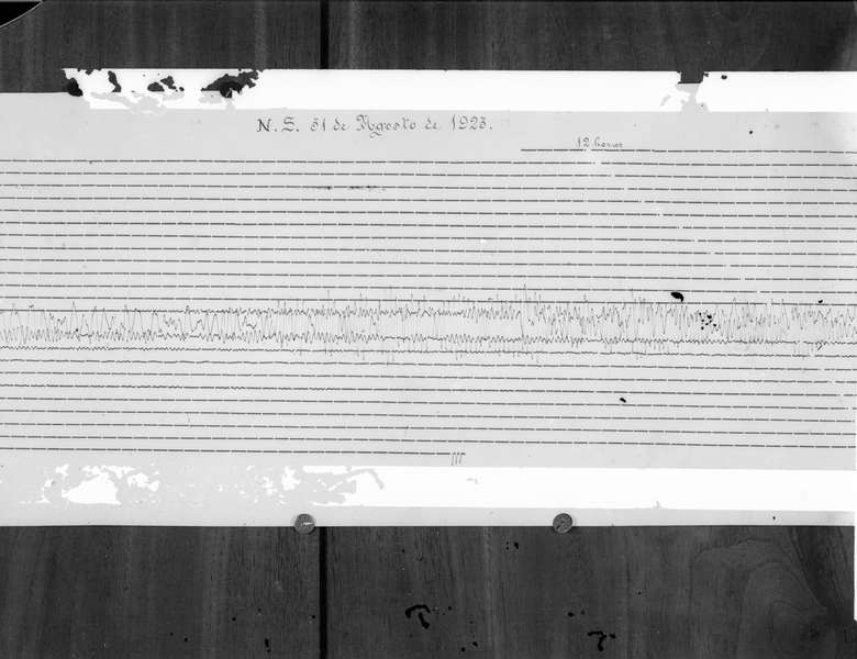
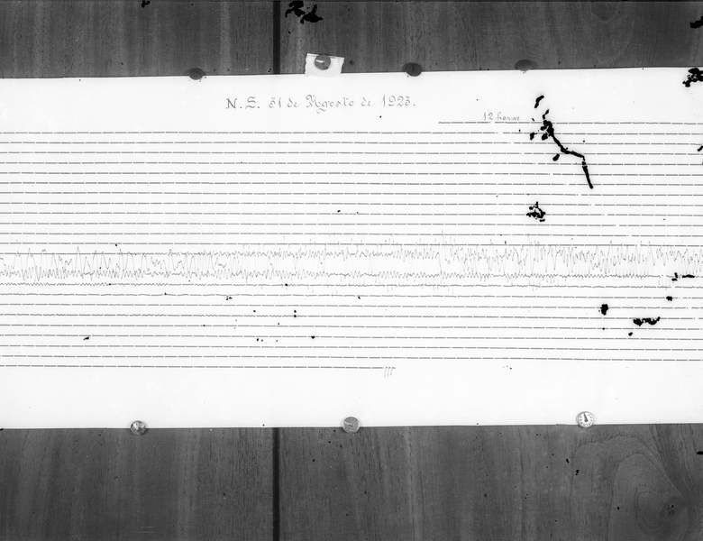
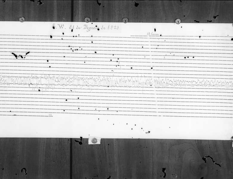
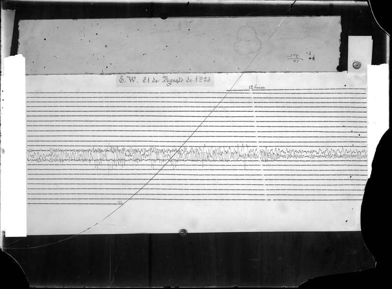
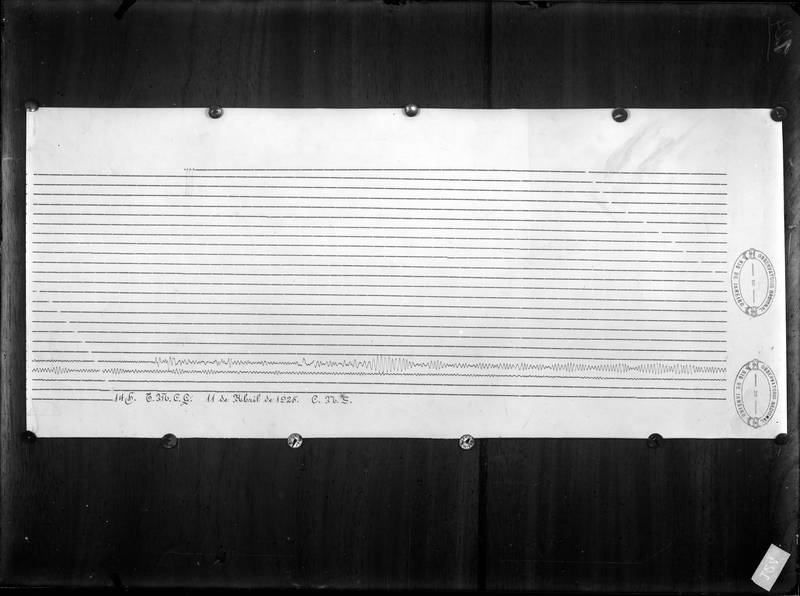
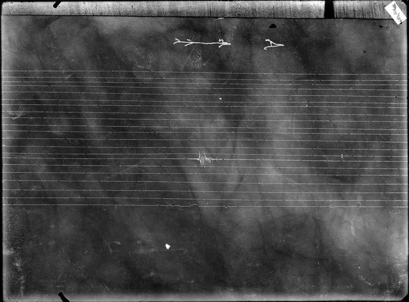
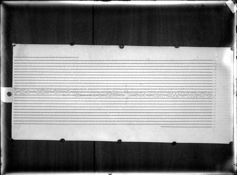
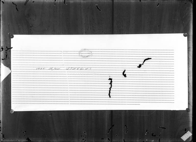
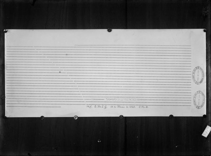
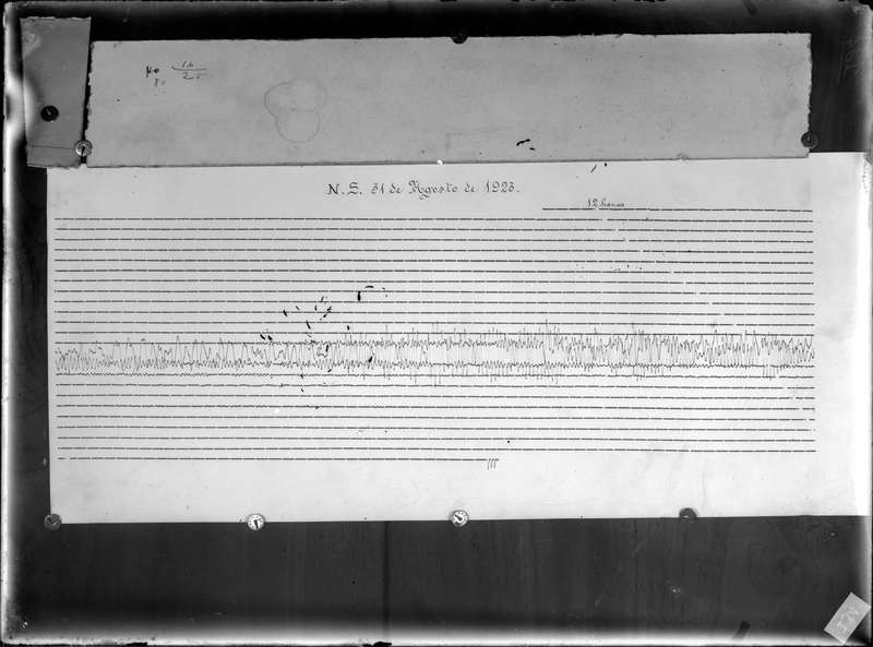
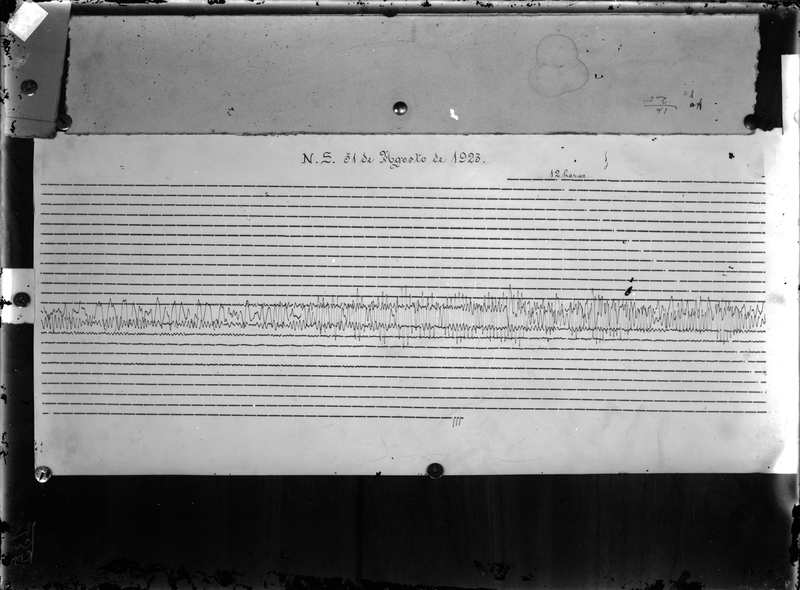
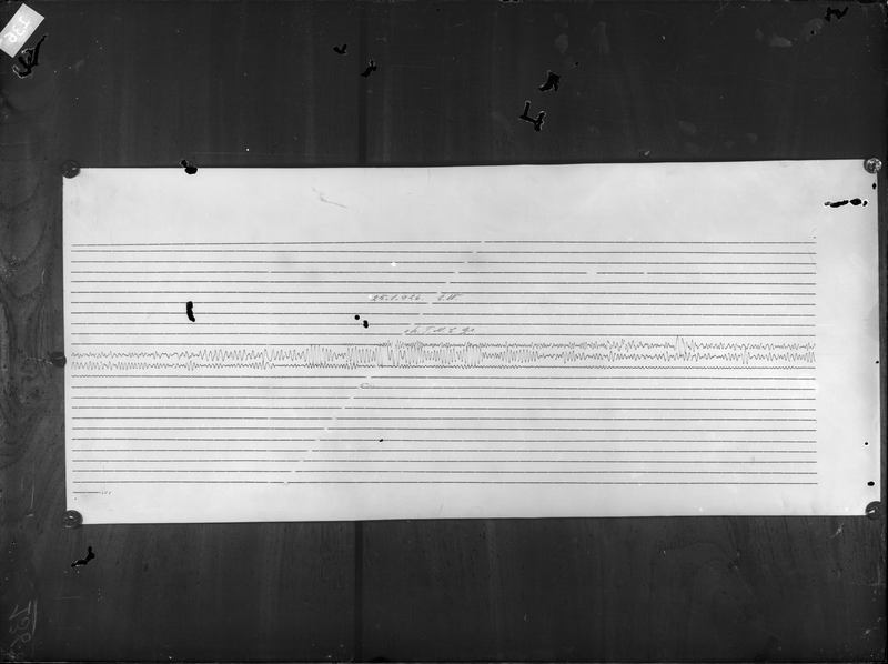
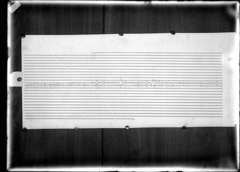
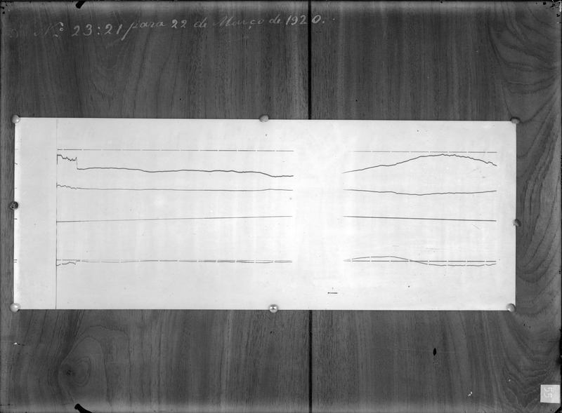
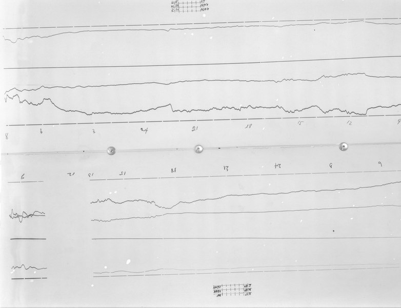
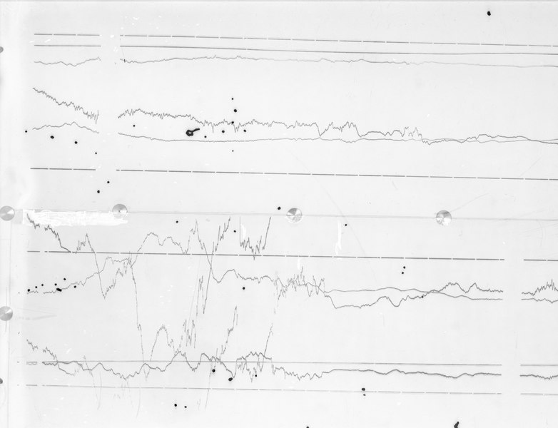
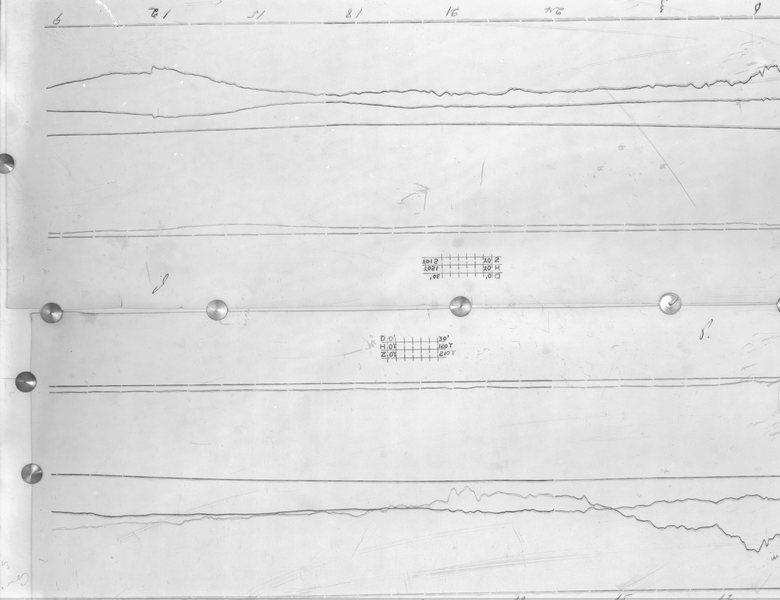
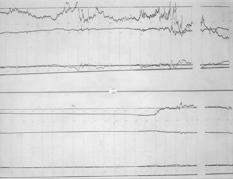
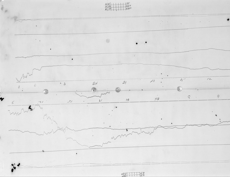
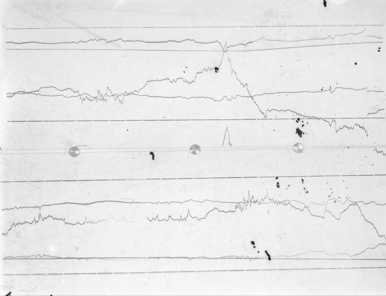
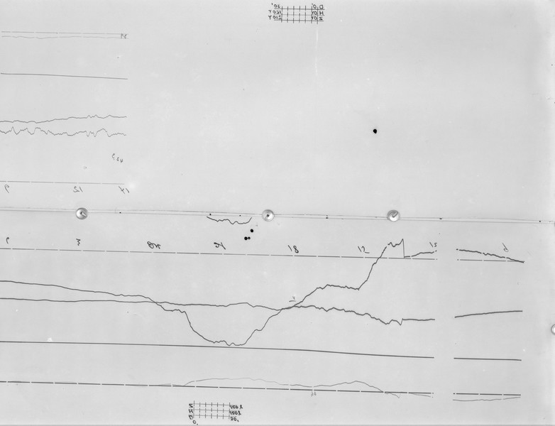
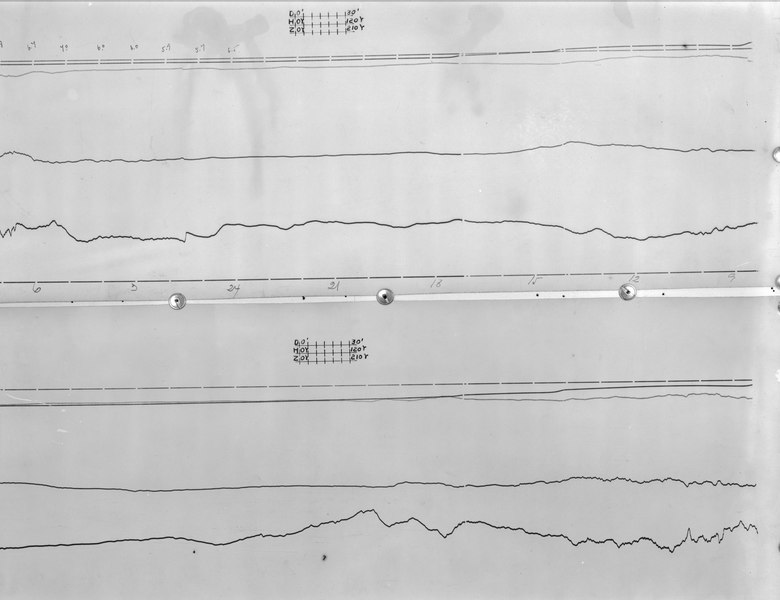
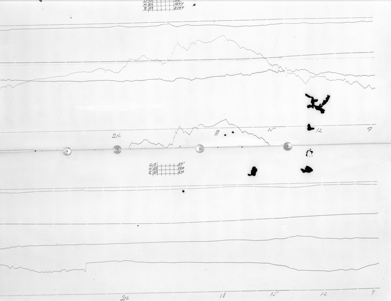
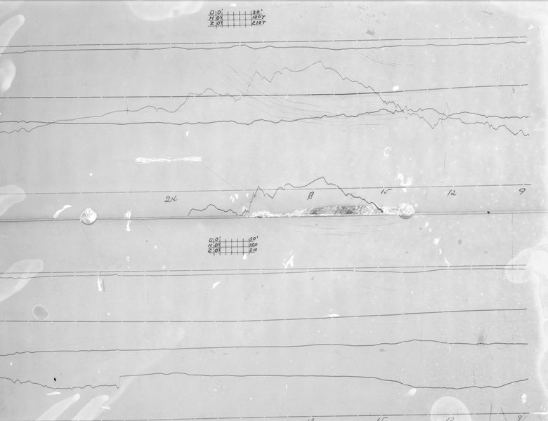
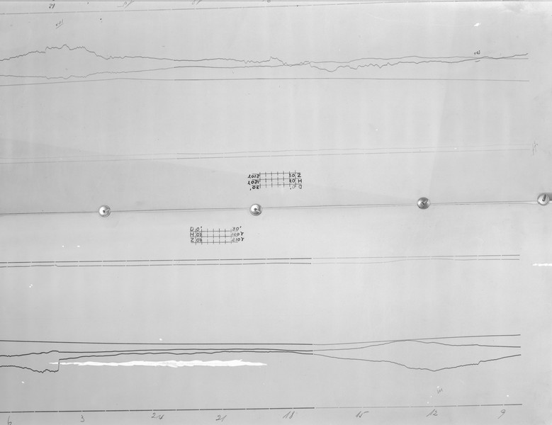
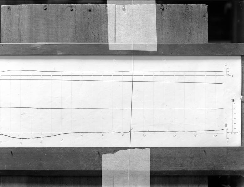
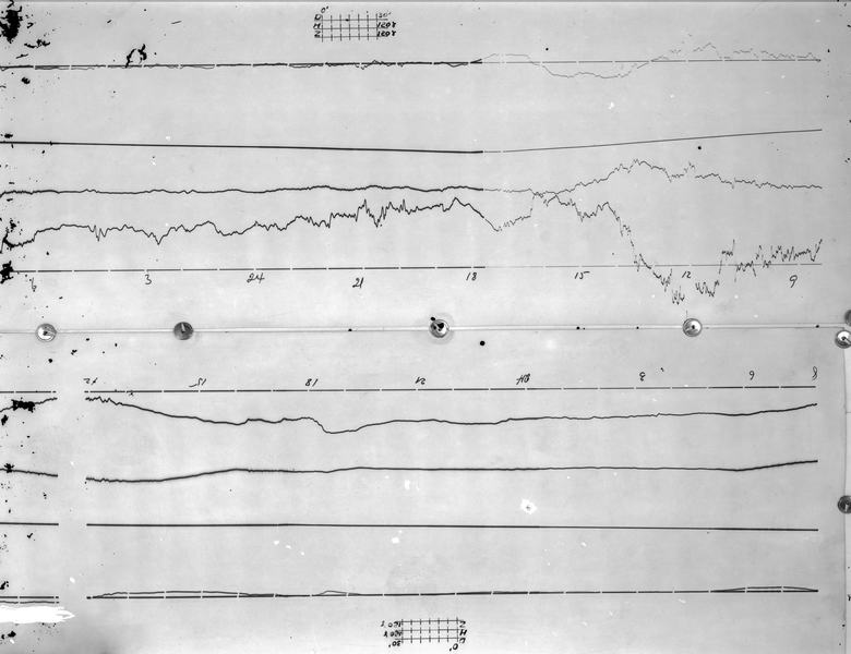
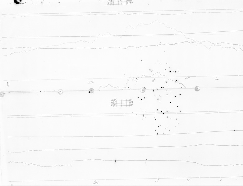
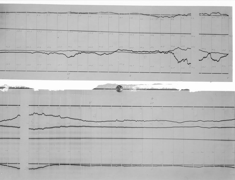
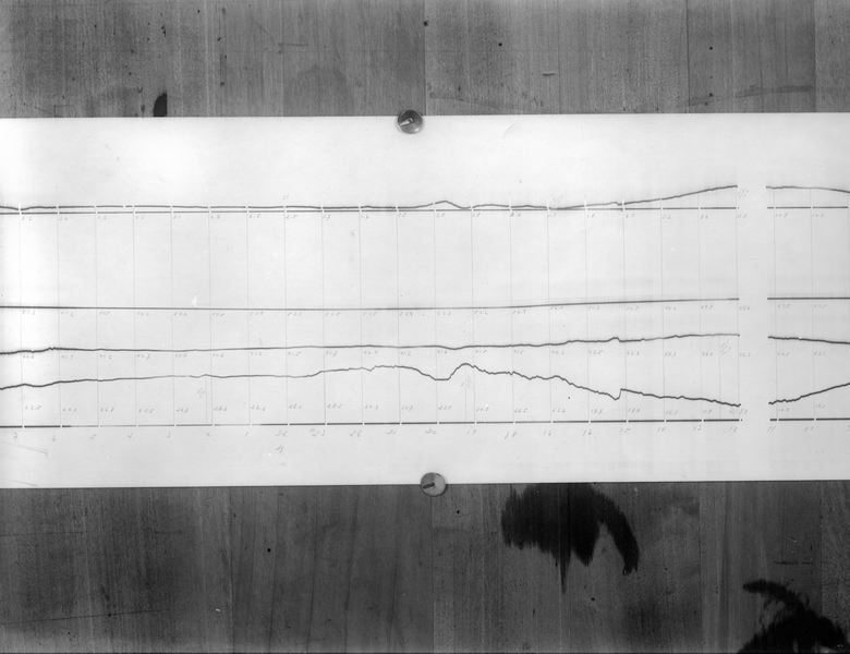
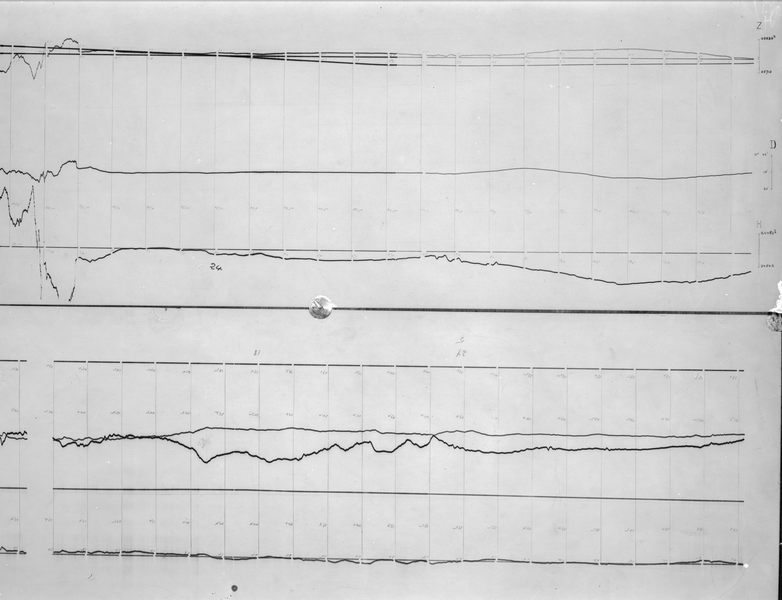
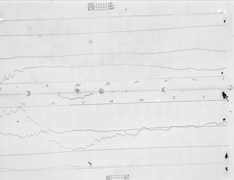
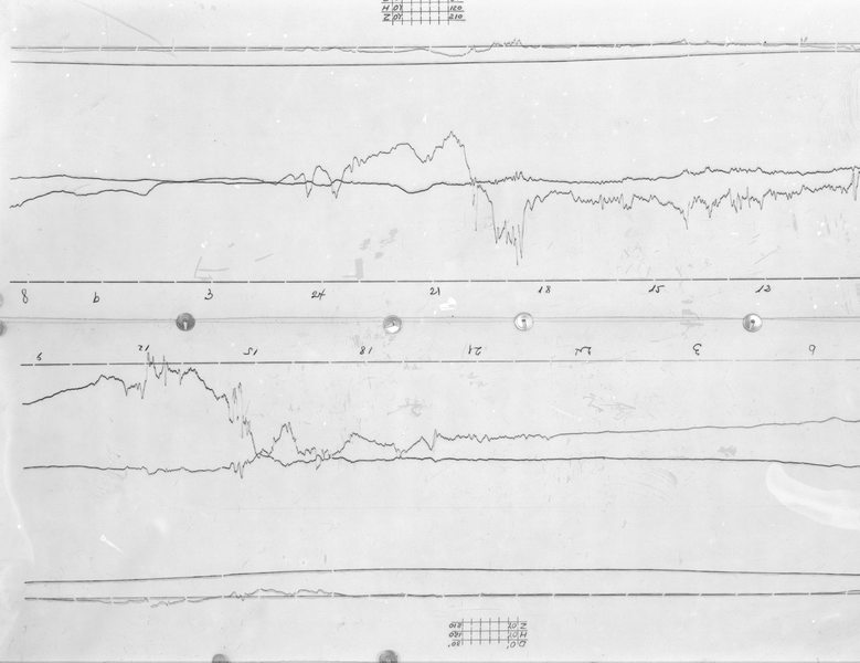
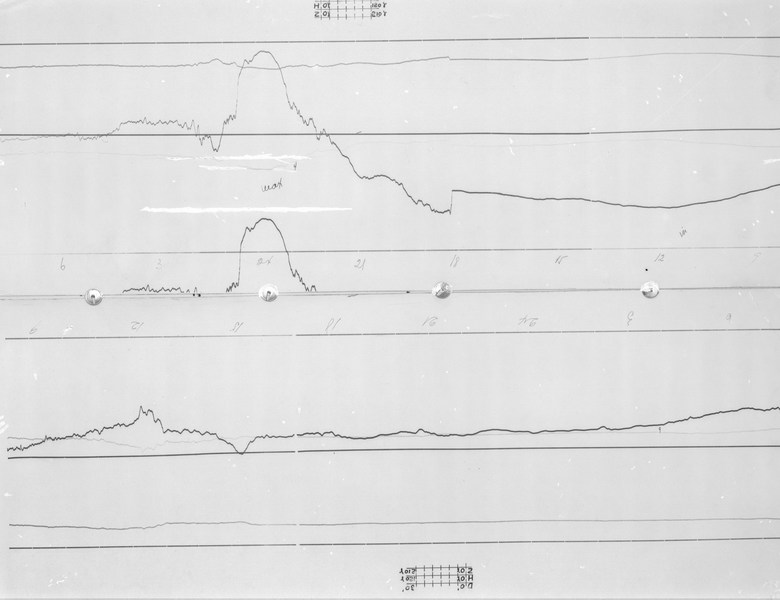
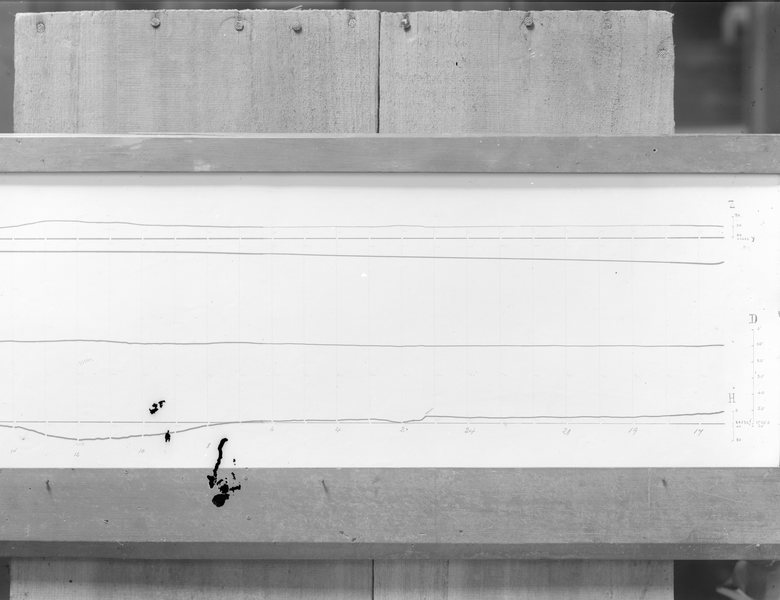
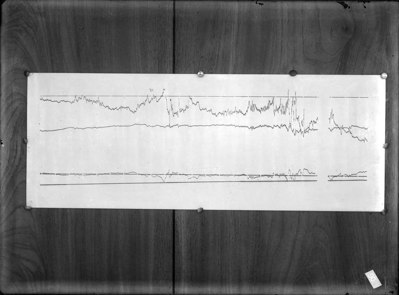
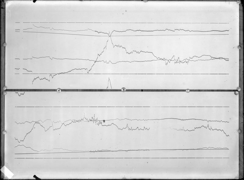
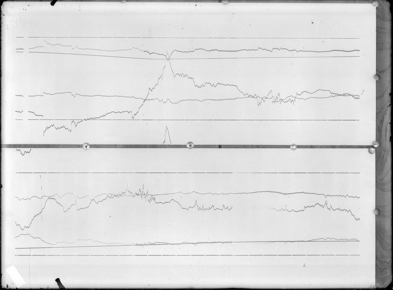
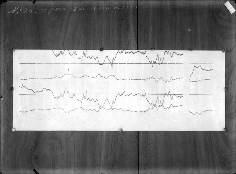
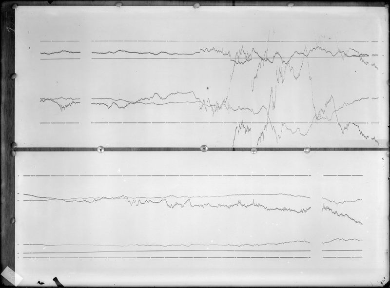
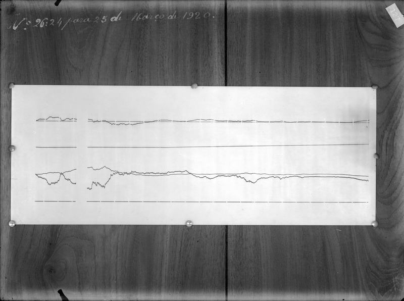
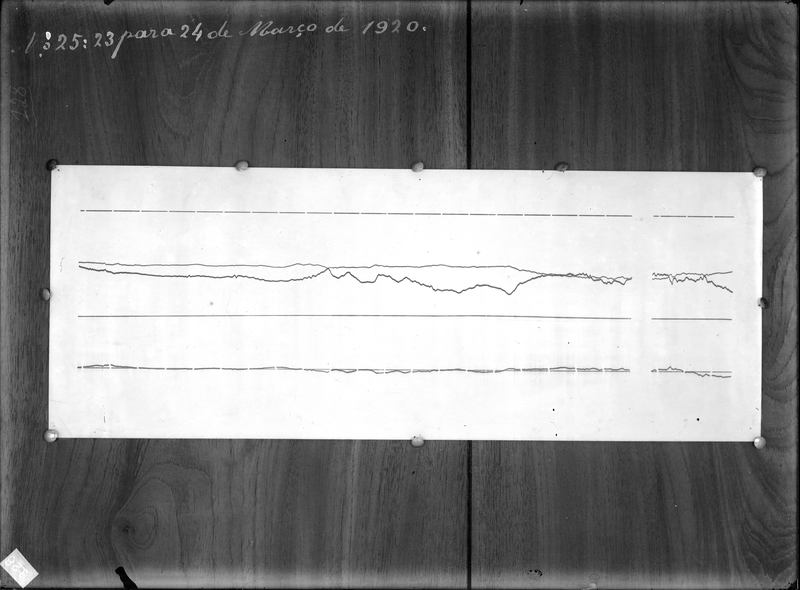
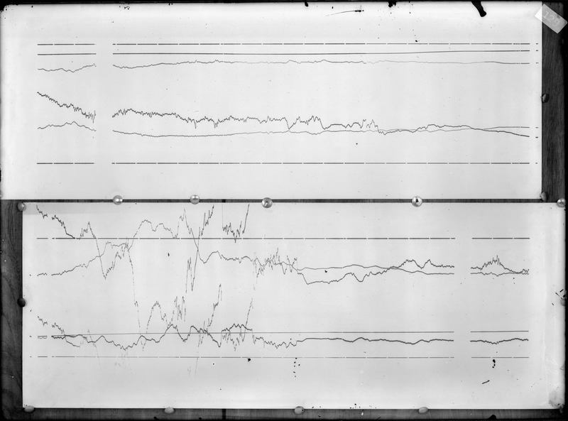
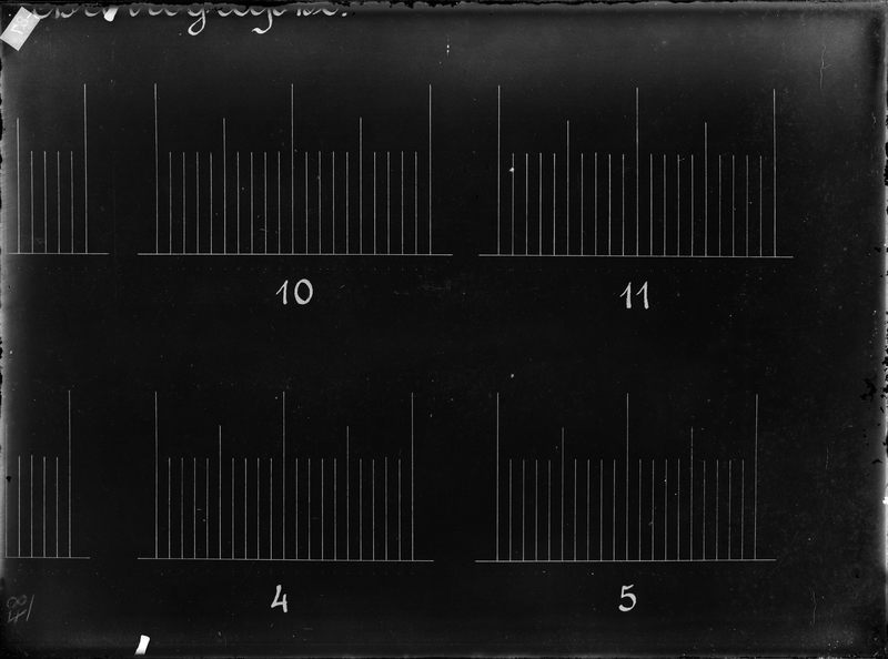
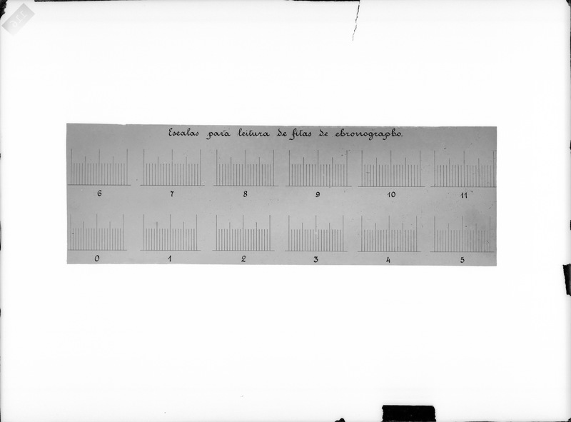
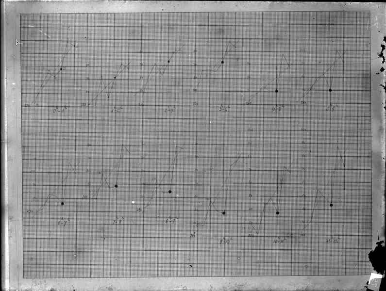
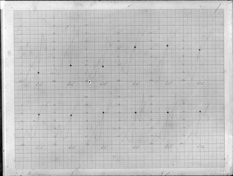
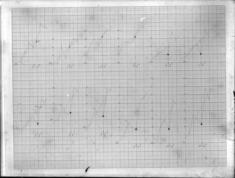
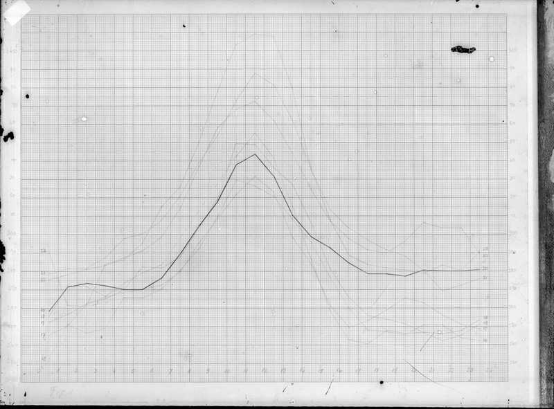
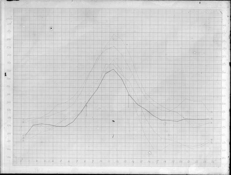
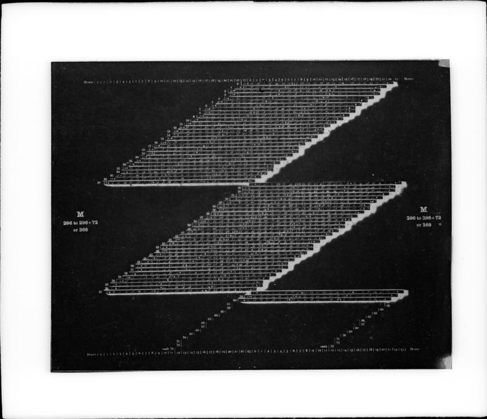
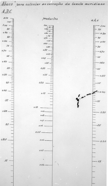
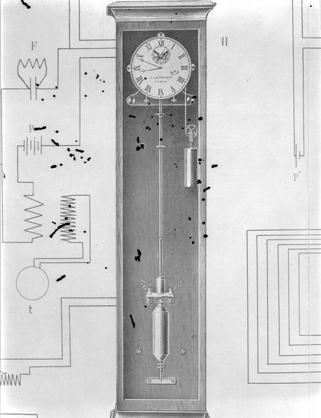
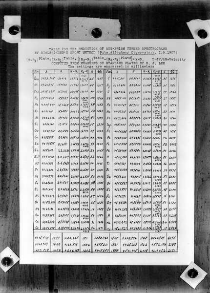
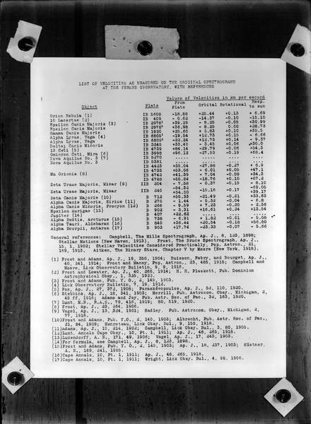
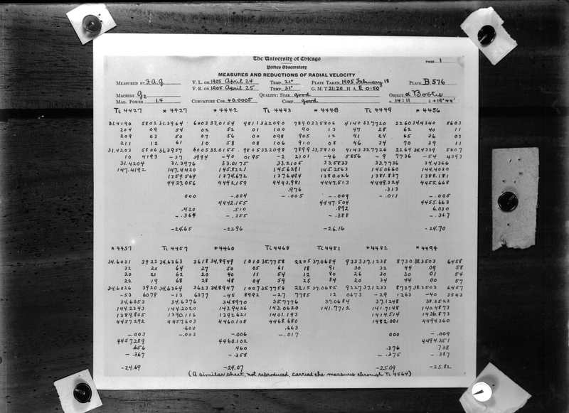
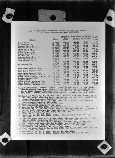
This subject presents the images of photographic glass plates containing records of seismographs, magnetograms, magnetic declination scale, scale to identify spots on the Sun surface, and schemes of pendules operation. It still contains graphs of the Mars orbit position, organizational chart of the Observatório Nacional, isogonic map of Brazil, curve level plants of the Vassouras Magnetic Observatory, among others.
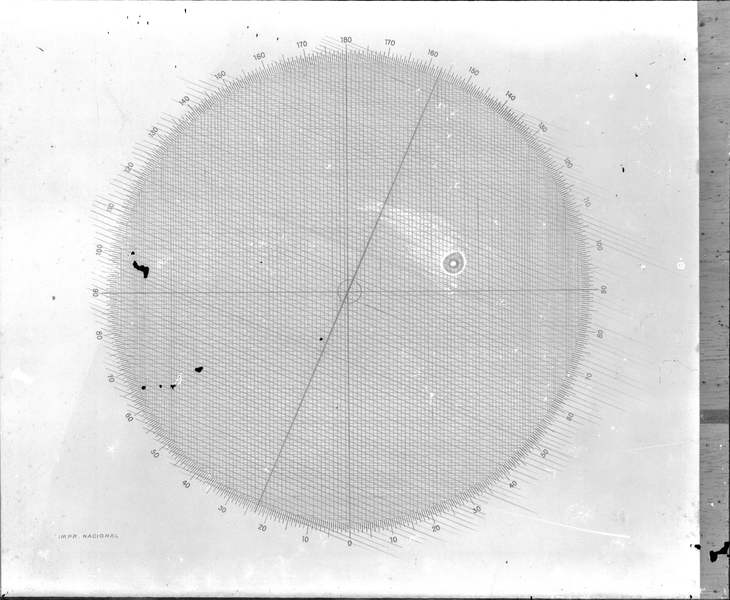
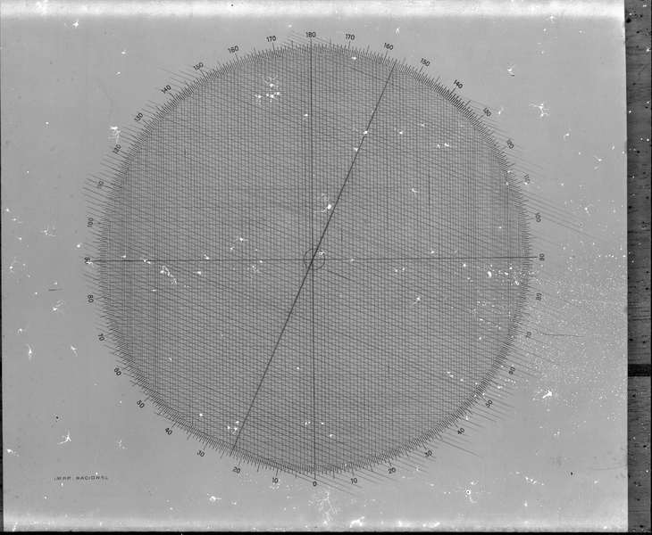
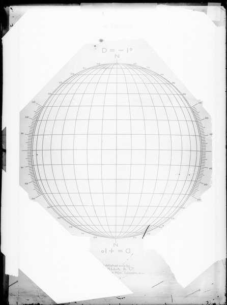
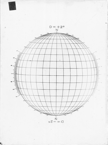
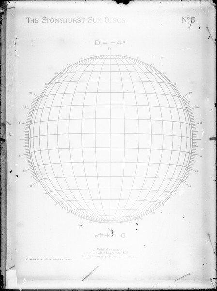
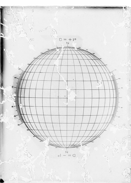
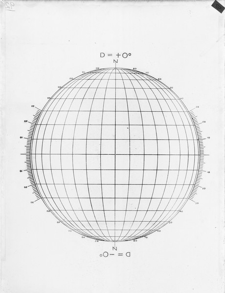
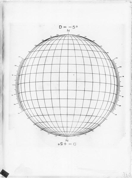
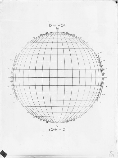
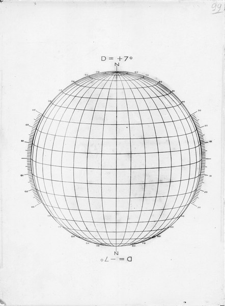
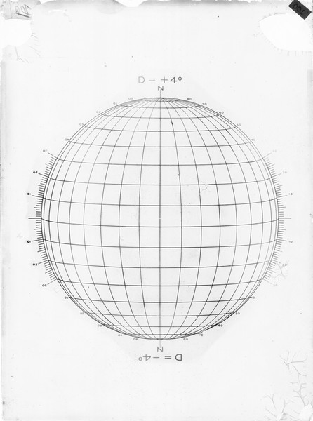
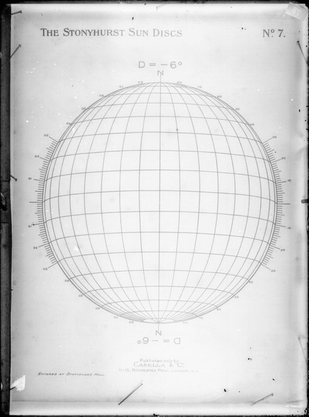
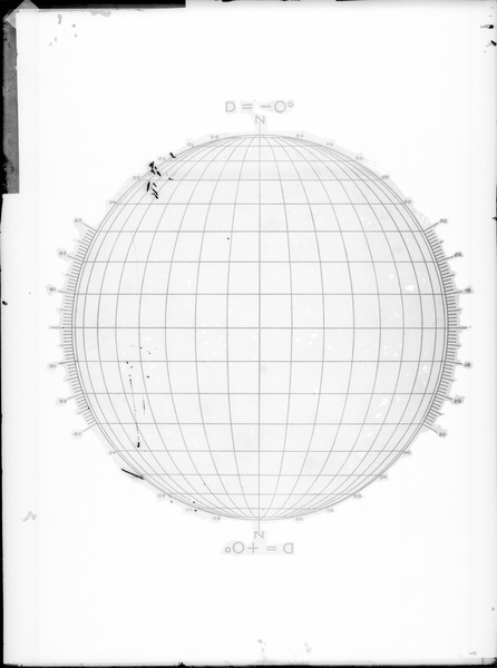
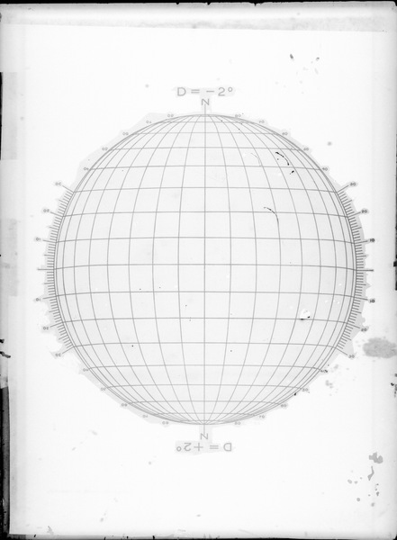
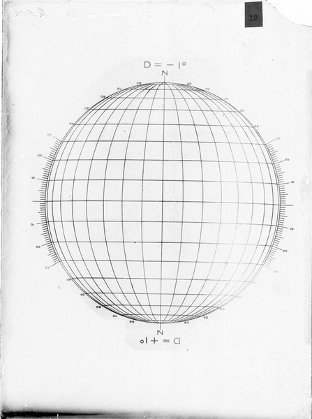
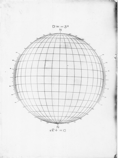
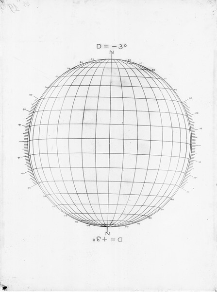
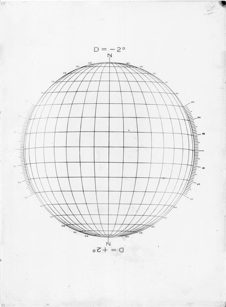
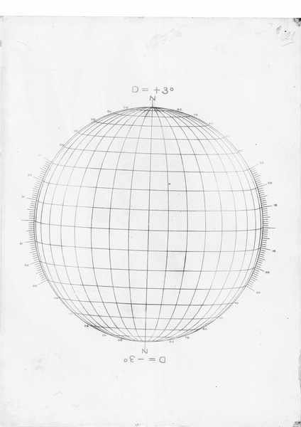
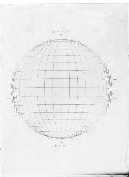
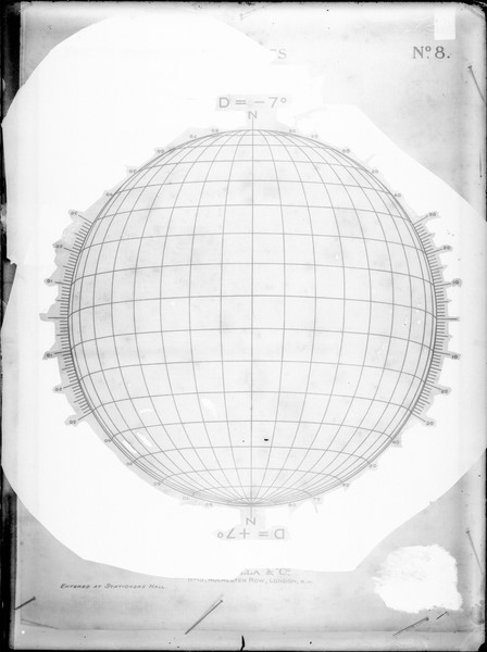
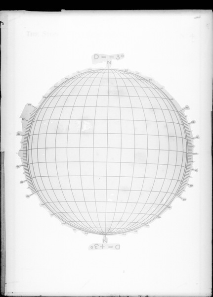
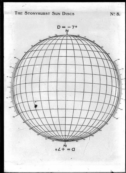
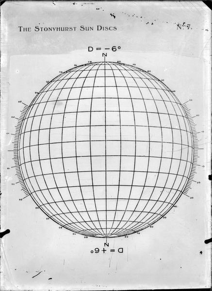
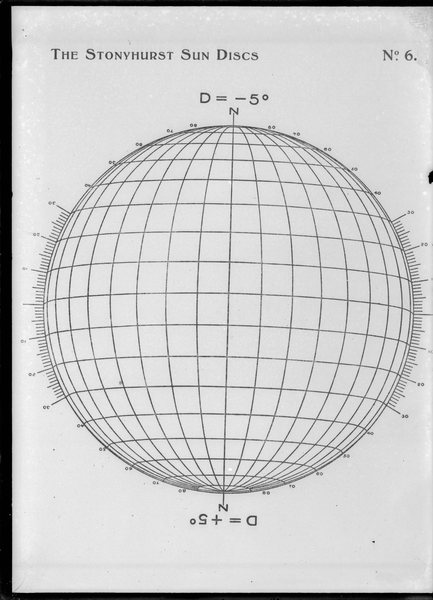
For instance, the disk “The Stonyhurst Sun Disks” is a circular and transparent grid (reticulated scale), with longitude and latitude lines which were overlapped to a solar image to identify the sunspots positions or coordinates observed. This system was created at the Stonyhurst observatory (Lancashire, England).
These seismograms, magnetograms, scales, graphs and plants were originally obtained on paper. However, in this subject 125 plates, which are glass copies of these informations were found. After turning to bibliographical sources and reports from different people, we got to the conclusion that these copies had the fotolite (matrices) function.
Produce the Magnetic Letters of Intensity, Declination, Inclination of the terrestrial magnetifc field and its secular variations. Simulate the effects of the Solar Wind over the magnectic field of Earth. 3D visualization is available at the website: https://daed.on.br/astro
Note: The images of scanned plates have their names formed, initially, by three letters associated to a number to facilitate their location in the digital database and physical archive of the Observatório Nacional library.